
Oceanic Virtual Tour
Rumson’s history began in 1665 with the signing of a Deed of Sale for the area from the Lenni Lenape Indian Tribe. Rumson, as we know it today, was created out of a combination of several tiny areas with names which were part of our earlier history: Port Washington, Cartontown, Black Point, Passage Point, Rumson Neck, Ocean, Old Farm Village, Pine Ridge, Oyster Pond, Polly’s Pond, West Park and Narumsunk.
The Oceanic part of Rumson was considered the small business and trade area around the banks of the North Shrewsbury River, now known as the Navesink River, near to the ferry dock at the end of Lafayette Street. The Oceanic Fire House still in use today in the middle of “Oceanic” was the site of the incorporation of Rumson on February 4, 1907.
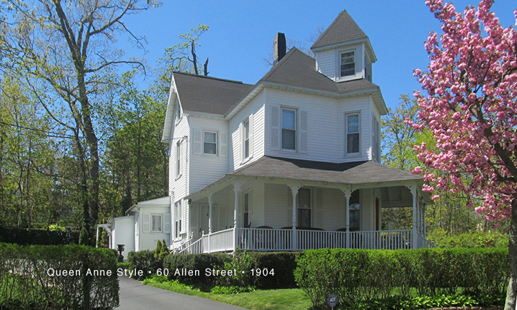
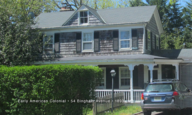
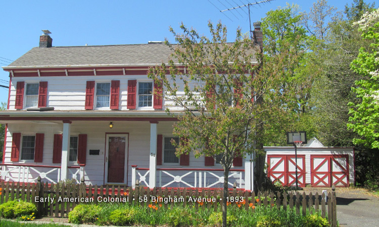
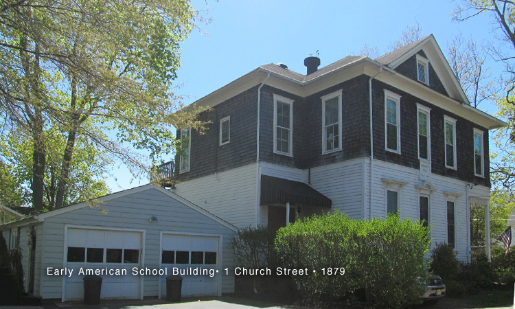
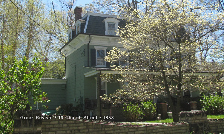
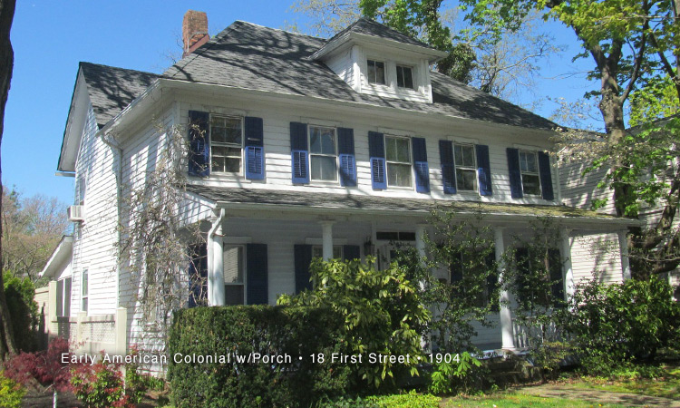
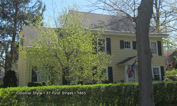
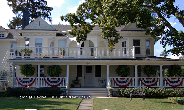
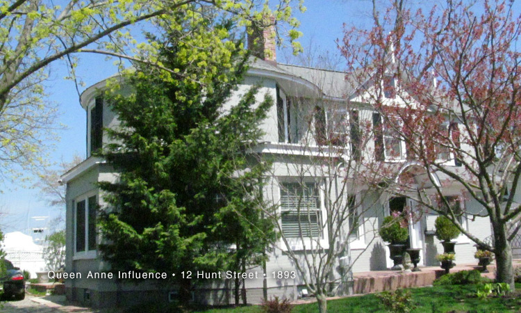
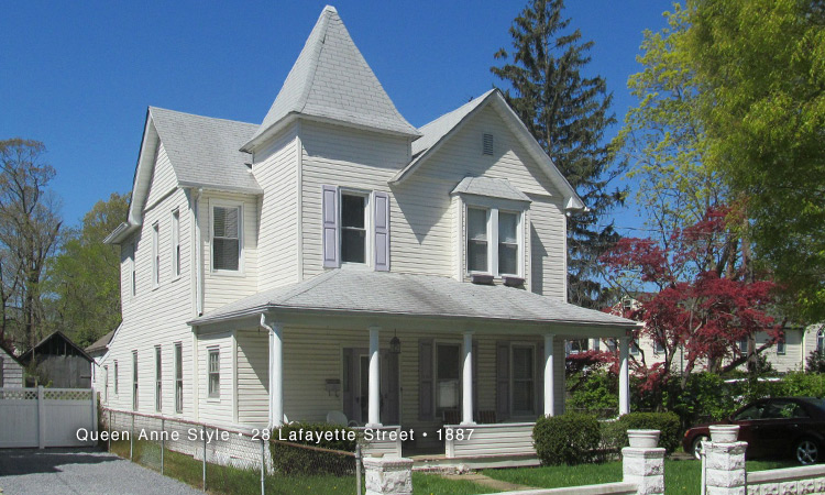
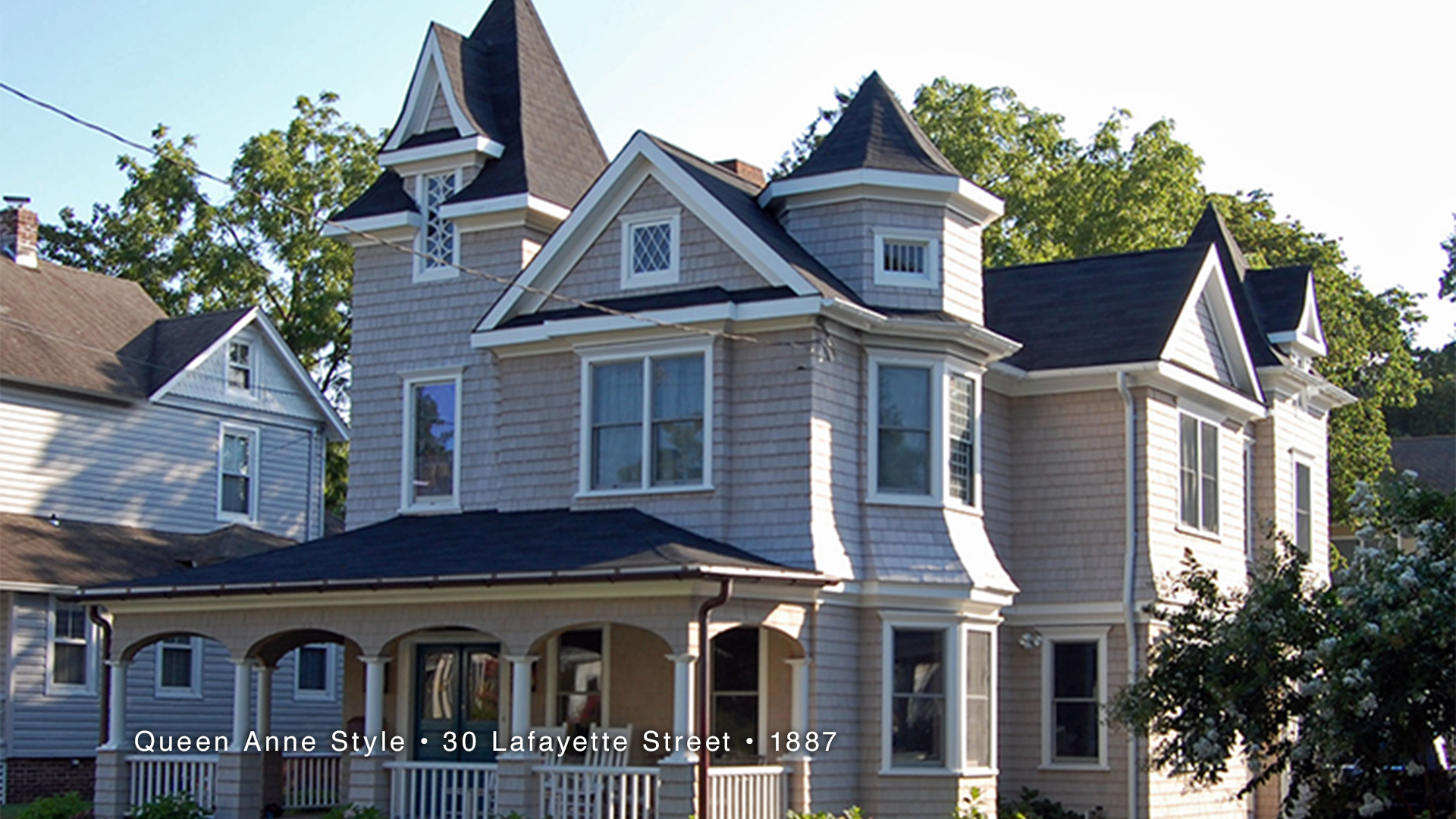
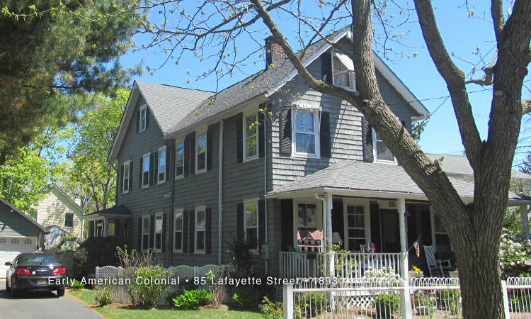
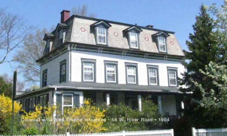
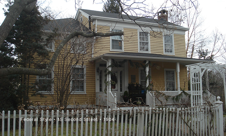
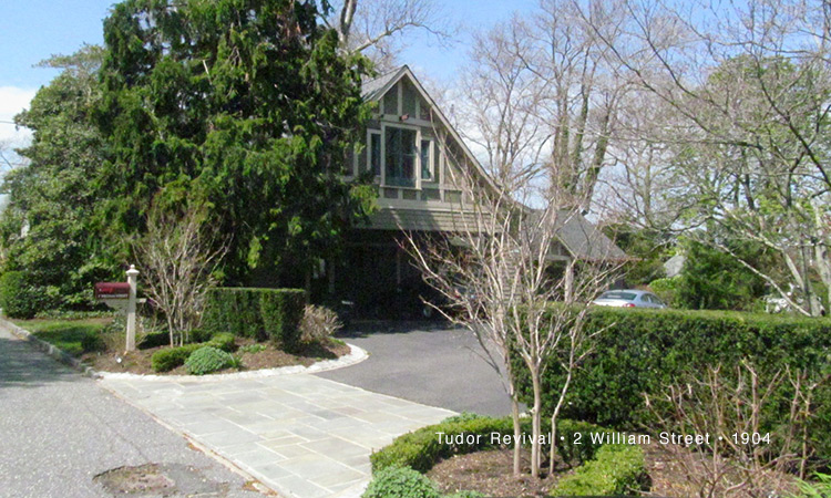
Many of the homes built in the late 1800’s and early 1900’s are a part of the significant properties still in existence today in what was known as Oceanic. The Oceanic Village District is bound on the east by Bingham Avenue, on the west by Third Street, on the south by Church Street and by the Navesink River on the north.
Details on specific properties in the tour may be found by using the street address and number in Find-A-Property on the website.